|
Record 634/1139 |
|
Description
|
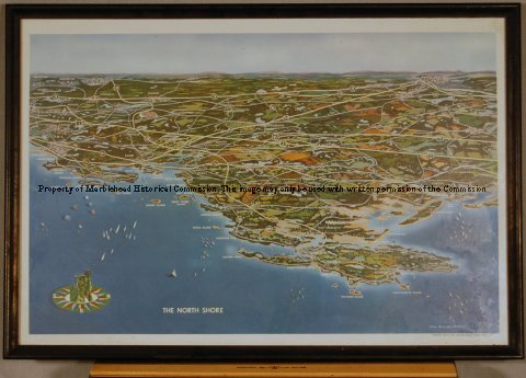
| Map/drawing of the North shore of Boston from Swampscott to Plum Island with Cape Ann in the center. It includes major roads and highways. |
The North Shore
-Objects Catalog
-Copyright Marblehead Historical Commission
COPYRIGHT INFORMATION ~ Contact the Marblehead Historical Commission for rights to use this image.
| Map-drawing North Shore |
COPYRIGHT INFORMATION ~ Contact the Marblehead Historical Commission for rights to use this image.