|
Record 2665/5355 |
|
Description
|
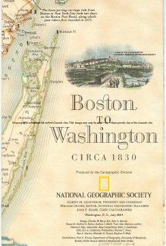
| A two sided map of the East coast of the United States from a little North of Boston MA to a little South of Washington DC in about 1830 on one side and about 1994 on the other. Published by the National Geographic Society. It gives some of the details of the growth of this area in the years from 1830 until 1994. |
Boston to Washington Circa 1830 and Boston to Washington Megalopolis
-Archives Catalog
-Copyright Marblehead Historical Commission
COPYRIGHT INFORMATION ~ Contact the Marblehead Historical Commission for rights to use this image.
| Boston to Washington 1830 |
COPYRIGHT INFORMATION ~ Contact the Marblehead Historical Commission for rights to use this image.