|
Record 3584/5355 |
|
Description
|
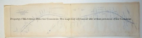
| This map shows the land taken from the Boston and Maine Railroad for Sewerage purposes. it extends from Maverick Street all the way to the end of town line near Swampscott. |
Map
-Archives Catalog
-Copyright Marblehead Historical Commission
COPYRIGHT INFORMATION ~ Contact the Marblehead Historical Commission for rights to use this image.
COPYRIGHT INFORMATION ~ Contact the Marblehead Historical Commission for rights to use this image.